
Snow report. (21.03.2026)
Your update for safe and unforgettable ski days.
Here you will find all the current data to perfectly plan your ski day! Nestled between the Bregenzerwald, Allgäu, and Lechtal Alps, at an altitude of 1,260 to 2,800 metres, Warth-Schröcken am Arlberg is known as the "snowiest ski area in the Alps."
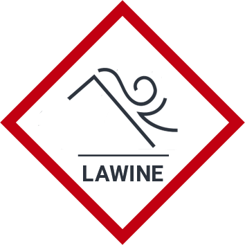
For those venturing off-piste into untouched powder slopes, alpine safety is essential. Inform yourself here about the current snow conditions and avalanche situation to set off into the terrain well-prepared.
Select the desired area.
Current snowreport Warth-Schröcken
Last updated at 03/21/2026, 08:31 AM
Snowheight
Snowheight mountain
120 cm
Snowheight valley
90 cm
Fresh snow
Fresh snow
0 cm
Last snowfall
16.03.2026
Liftstate
All lifts
15
Open lifts
15
Temperatures
Min. temperature
-4 °C
Max. temperature
4 °C
Current avalanche risk
2 - moderate avalanche danger level
Snowpack stability
The snowpack is only moderately well bonded on some steep slopes (steeper than 30 degrees) otherwise well bonded in general.
Likelihood of triggering
Triggering is possible, primarily from high additional loads, particularly on the indicated steep slopes (steeper than 30 degrees). Very large natural avalanches are unlikely.
2
Today
2026-03-21
A fairly sunny day with variable cloudiness and a chance of snowfall towards evening.
max.
4 °C
min.
-4 °C
Tomorrow
2026-03-22
Rather sunny weather during the day with clouds mainly in the morning and towards the evening
max.
6 °C
min.
-4 °C
Monday
2026-03-23
Dry, but mostly cloudy or foggy with hardly any sunshine.
max.
4 °C
min.
-3 °C

Live
Wartherhorn-Express.
2.050 m

Live
Salober mountainview.
2.050 m

Live
Webcam Steffisalp.
1.520 m
Live
Salober valley station.
1.668 m

Live
Webcam Hochalphütte.
1991 m
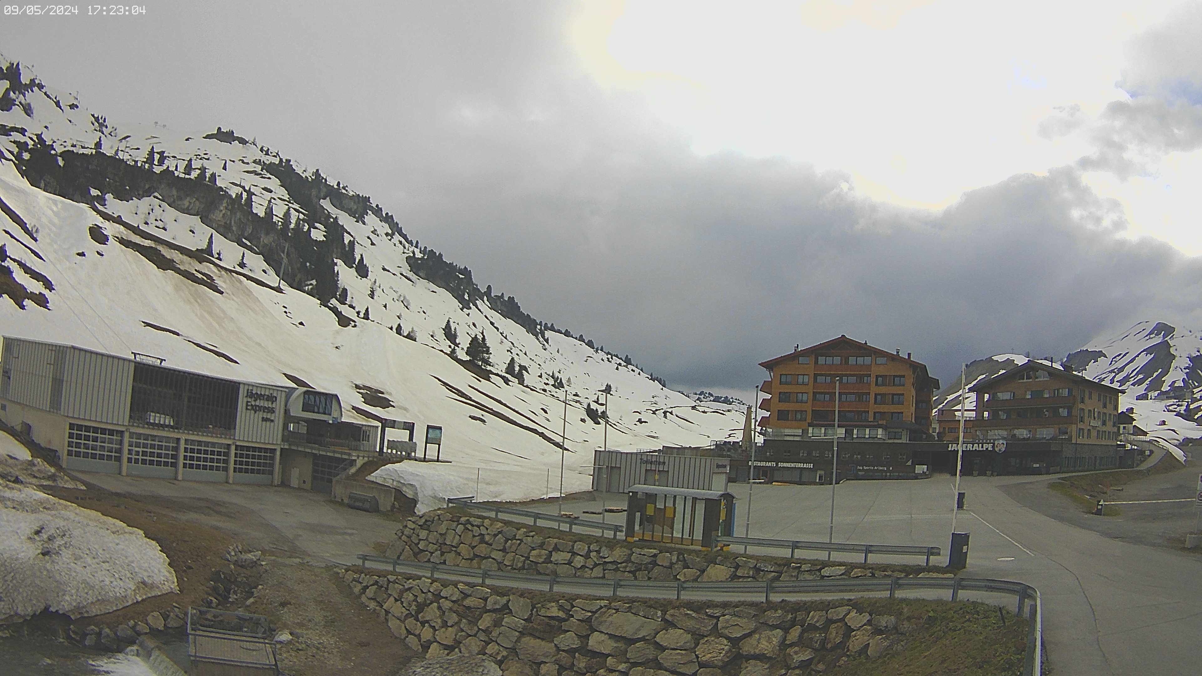
Live
Jägeralp-Express.
1.589 m
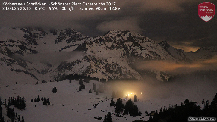
Live
Lake Körbersee.
1.654 m

Live
Widdersteinhütte panorama.
2.015 m

Live
Webcam Wolfegg Warth.
1.550 m
Live
Weather station Salober.
2.050 m
Live
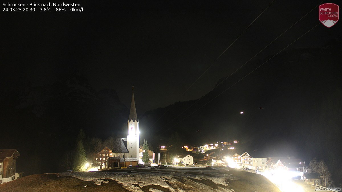
Church Schröcken.
1.265 m
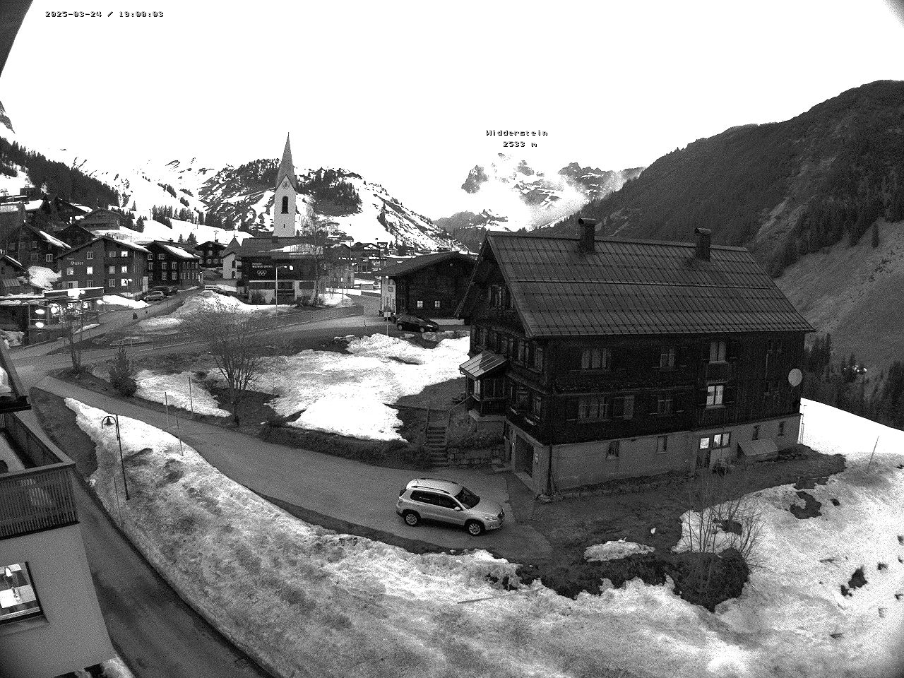
Live
Warth Kirche.
1.520 m
Live
Widderstein with Simmel.
1.589 m
Live
Hotel Adler.
1.675 m
Total fallen snowfall per season (in meters)
Peak - 16,49 Meter (1998/99)
Negative record - 5,50 Meter (2006/07)